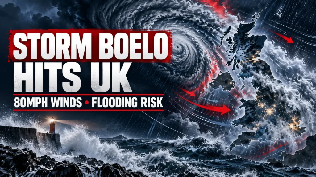
Britain faces its second named storm in just days, with amber wind warnings across northern parts of the UK and a yellow rain warning extending into Hampshire. Rail closures, power cuts and flooding are among the risks as Storm Boelo moves across the country this weekend.
Storm Boelo is bringing another spell of severe weather to the UK on Saturday 24 October, with the Met Office forecasting wind gusts of up to 80mph in exposed locations, heavy rainfall and widespread transport disruption. Amber wind warnings have been issued for Scotland and parts of Northern Ireland and northern England, while a yellow rain warning covers areas farther south, including Hampshire.
Where will Storm Boelo hit hardest?
The strongest winds are expected across Scotland, the far north of England and northern parts of Northern Ireland.
Storm Boelo was officially named by the Met Office on Thursday 22 October, making it the second named storm of the 2026–27 season.
Amber wind warnings begin at 9pm on Saturday 24 October. In Scotland and the affected parts of northern England, the warning continues until 9pm on Sunday 25 October.
The amber warning in Northern Ireland is expected to end earlier, at 10am on Sunday.
Within the worst-affected areas, widespread gusts of 60 to 70mph are forecast, with speeds reaching 80mph possible along exposed coastlines.
The Met Office has warned that flying debris, falling trees, damage to buildings and interruptions to electricity supplies could pose significant risks.
Dangerous coastal conditions are also expected, with large waves potentially affecting seafronts, coastal roads and properties.
Met Office warns of significant disruption
Met Office Chief Forecaster Jason Kelly said:
“Storm Boelo will be felt across the UK this weekend, with the strongest winds and greatest potential for disruption in the north.”
The strongest winds are expected to develop during Saturday evening, initially affecting western Scotland and northern Northern Ireland before spreading eastwards overnight.
Very windy conditions will continue through Sunday, although winds should gradually ease from the west as the storm moves away.
Yellow wind warnings extend beyond the amber warning areas, covering much of northern Britain.
Residents are being urged to monitor the latest warnings, particularly where strong winds are expected to coincide with heavy rainfall.
Heavy rain warning includes Hampshire and southern England
Although the most damaging winds are expected farther north, southern England will not escape the unsettled weather.
A yellow rain warning issued on Saturday morning covers parts of Wales, southwest England, northwest England and the southeast, including Hampshire, Southampton, Portsmouth and the Isle of Wight.
The warning runs from 11am until 11pm on Saturday 24 October.
The Met Office forecasts rainfall totals of 25 to 30mm widely across the overall warning area, with isolated upland locations potentially receiving 50 to 60mm.
These figures apply to the warning area as a whole and should not be interpreted as a forecast that every location will receive those amounts.
Heavy rain could result in localised surface water flooding, standing water on roads and disruption to public transport.
Across Hampshire, including Andover, Winchester, Basingstoke and Southampton, Saturday is expected to be wet and windy, with conditions gradually improving overnight.
Sunday should be considerably brighter across much of southern England, with sunny spells and temperatures around 13 to 14°C, although some gusty winds may remain.
There is currently no indication that Hampshire will experience the extreme 80mph gusts forecast for the northern warning areas.
Rail services disrupted as storm approaches
Rail operators have already announced precautionary closures and speed restrictions in Scotland.
Network Rail has confirmed that services between Kilwinning and Ardrossan or Ayr will stop from 9pm on Saturday.
The Crianlarich to Oban and Fort William to Mallaig lines are expected to close from approximately 10pm.
Further closures are planned on Sunday, including sections of the Kyle of Lochalsh and Far North lines.
Speed restrictions will also be introduced across large parts of Scotland’s railway network.
Some lines may remain closed until inspections confirm that tracks are safe following the storm.
Network Rail has warned that falling trees, debris and damage to railway equipment could affect services.
Passengers travelling through Scotland and northern England are advised to check the latest information before setting off.
Police Scotland urges drivers to reconsider journeys
Police Scotland has warned of a high risk of disruption during the amber warning period.
Superintendent Andy Barclay, deputy head of Road Policing, said road conditions could become hazardous, particularly where strong winds combine with heavy rain.
Drivers are being advised to consider whether their journeys are necessary and to postpone non-essential travel where possible.
High-sided vehicles, including lorries and buses, may be particularly vulnerable on exposed roads and bridges.
Motorists who must travel should allow additional time, reduce speed to suit conditions and remain alert for debris or fallen trees.
Storm Boelo follows Storm Austen
The arrival of Storm Boelo comes immediately after Storm Austen brought damaging winds to southern and western Britain on Friday 23 October.
According to the Met Office, Storm Austen produced a maximum recorded gust of 76mph at St Mary’s Airport in the Isles of Scilly.
Gusts of 75mph were also recorded at Portland in Dorset and Needles Old Battery on the Isle of Wight, while Aberporth in Wales recorded 74mph.
Storm Austen caused transport disruption, fallen trees and power interruptions before moving eastwards towards continental Europe.
The two storms have affected different parts of the country, with Austen primarily impacting the south and Boelo bringing its greatest wind threat to northern Britain.
Both systems have been influenced by a powerful Atlantic jet stream, which has strengthened areas of low pressure and steered them towards the UK.
When will Storm Boelo clear?
The worst conditions are expected during Saturday night and Sunday, with winds gradually easing as Storm Boelo moves eastwards.
Many southern areas should experience brighter, drier conditions on Sunday, although showers are expected farther north.
The unsettled weather is unlikely to disappear immediately.
Another Atlantic low-pressure system is expected to bring further rain and strong winds on Monday 26 October, particularly across northern and western parts of the country.
Conditions may begin to settle during the second half of next week as higher pressure develops across southern Britain.
However, the timing remains uncertain, and the Met Office is continuing to monitor developments.
How to stay safe during Storm Boelo
The Met Office and emergency services recommend taking practical precautions before the strongest winds arrive:
- Secure loose outdoor items, including garden furniture, bins and trampolines.
- Check travel arrangements before leaving home, particularly for rail, ferry and air journeys.
- Prepare for possible power cuts by charging phones and keeping torches available.
- Avoid exposed coastal areas where large waves and flying debris may pose a danger.
- Never drive through floodwater where the depth or road condition is uncertain.
- Follow official warnings and any advice issued by police or local authorities.
Weather warnings can change as forecasts develop, so residents should check the latest information before travelling or making outdoor plans.
Check the latest weather warnings
Residents can follow the storm’s progress and check alerts affecting their area using official information services.
- Met Office: Live UK Weather Warnings
- Met Office: UK Weather Forecast
- National Rail: Live Service Updates
- Traffic Scotland: Road Conditions
- Environment Agency: Flood Warnings for England
Fish 4 News will continue to follow developments as Storm Boelo moves across the UK.