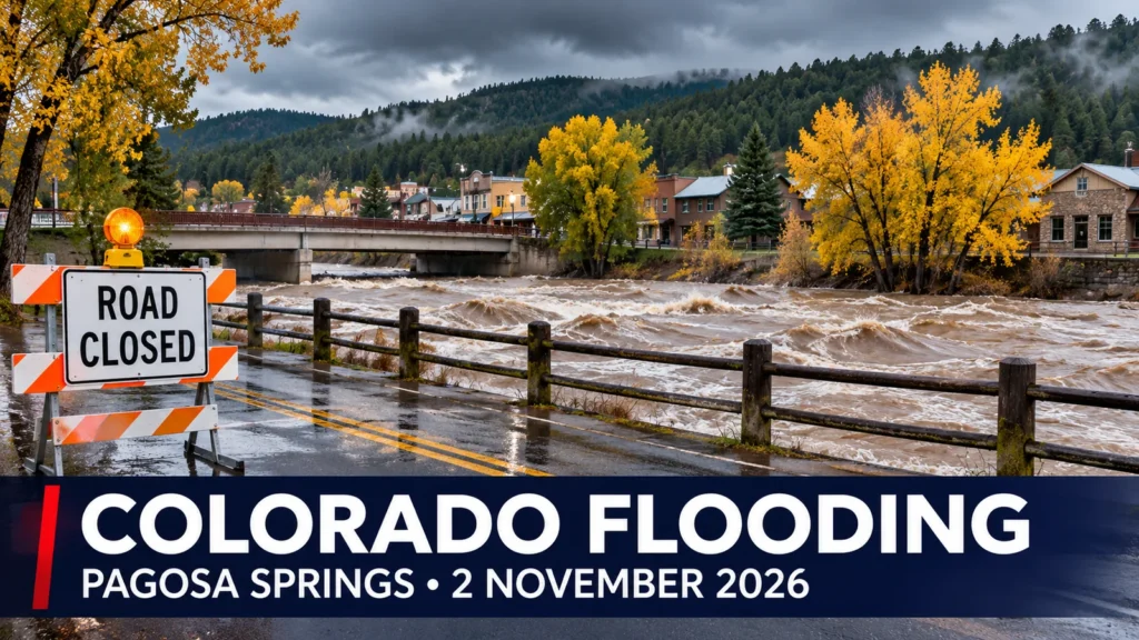
The San Juan River in Pagosa Springs, Colorado, reached 16.81 feet during severe flooding on Sunday night, after mandatory evacuations were ordered over fears of a record-breaking surge.
The river rose to major flood level but stayed below the frequently cited 17.8-foot crest of the devastating 1911 flood. Earlier National Weather Service forecasts had suggested a possible rise to around 22 feet, prompting officials to warn of potentially catastrophic conditions. The 16.81-foot reading is an observed crest, not the earlier forecast.
What we know about the river level
Local newspaper The Pagosa Springs Sun reported on 2 November that the San Juan River crested at 16.81 feet on Sunday night, 1 November. That exceeded the 15.02 feet recorded during flooding on 23 October, but fell short of the 1911 historical comparison.
The National Weather Service had issued a flood warning marked as a “Particularly Dangerous Situation”. Forecasts are estimates of what may occur, not measurements of what has happened. The lower eventual crest does not diminish the danger posed to people, buildings and roads by major flooding.
Evacuation orders and emergency response
The Town of Pagosa Springs ordered mandatory evacuations in flood-prone areas on 31 October. Further warnings on 1 November included low-lying areas along the San Juan, Rio Blanco, Navajo and Piedra rivers. Residents were warned not to wait for floodwater to reach their homes.
During the worst of the emergency, officials restricted traffic entering Pagosa Springs, and warned that damaged or inundated roads could prevent rescue teams from reaching stranded people. Colorado National Guard and specialist search-and-rescue resources were being mobilised. Reports also described shelters opening for displaced residents.
The measured crest was reported early on Monday. It does not, by itself, mean that all evacuation orders or road restrictions have been lifted. Anyone in the affected area should follow the latest official town emergency updates rather than older news reports.
Sewage discharged into the San Juan River
Flooding has also created a public-health concern. In an official notice dated 1 November, the town confirmed that sewage was being discharged into the San Juan River near First Street Bridge.
The town advised residents and visitors to avoid contact with river water, including downstream areas, and to keep children and pets away from potentially contaminated floodwater. The local sanitation system had already been operating at reduced capacity following the previous flood.
Why another major flood followed so quickly
The area had already suffered serious flooding in late October. A further atmospheric-river weather system brought heavy rain over ground that was already saturated, increasing run-off into rivers and streams. Local officials warned that the combination could produce washed-out roads, property damage and dangerously fast-rising water.
The early-November flooding was part of a wider emergency across the US Southwest, with evacuation alerts and rescue activity also reported in other parts of Colorado, Arizona and New Mexico.
What remains unconfirmed
A comprehensive assessment of buildings damaged, people displaced and any injuries or deaths attributable to this latest Pagosa Springs flood was not available in the official and local updates reviewed for this report. Nor has F4N verified a final all-clear for every evacuation area. The crest figures may be updated as monitoring data are reviewed.
Video: Denver7 coverage from Pagosa Springs
Sources and official updates
- Town of Pagosa Springs: flood emergency information and recovery notices
- Town of Pagosa Springs: mandatory evacuation order, 31 October 2026
- Town of Pagosa Springs: public-health notice, 1 November 2026
- The Pagosa Springs Sun: observed 16.81-foot crest, 2 November 2026
- Colorado Public Radio: regional evacuation and road-closure reporting